 vesseltracker.com
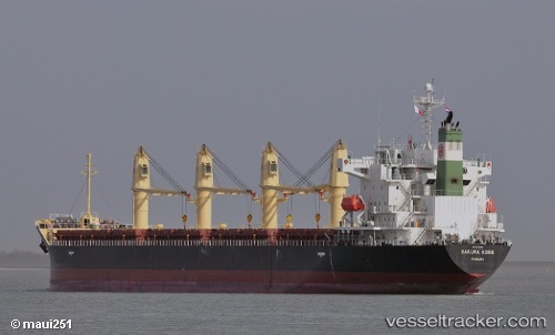
Find the position of the vessel HANDY HEIDI on the map. The latter are known coordinates and path.
marine traffic ship tracker show on live map
The current position of vessel HANDY HEIDI is 22.327070236206055 lat / 119.72969818115234 lng. Updated: 2025-08-02 00:26:18 UTCCurrently sailing under the flag of Marshall Islands
HANDY HEIDI built in 2011 year
Deadweight:
33735 tDetails:
Last coordinates of the vessel:
2025-08-02 00:26:18 UTC, 22.327070236206055, 119.72969818115234, course: 220, speed: 11.3